


Aurangabad Nagpur Highway Route Map Distance and Updates
Updated on : 08 October, 2025
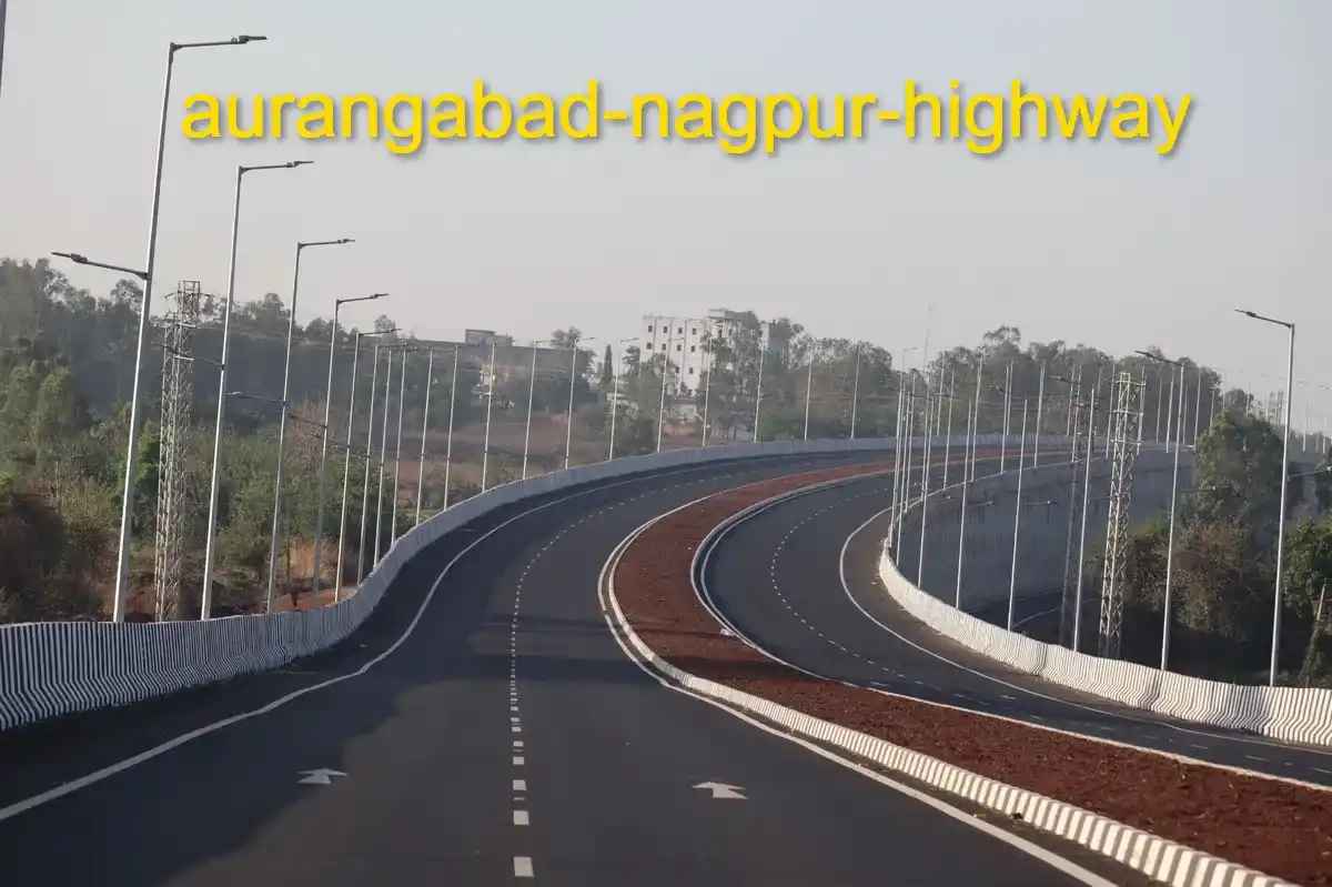
Image Source: google.com
Table Of Contents

- 1. Introduction
- 2. Route Overview and Geography
- 3. Connectivity and Transportation
- 4. Major Cities and Towns Along the Highway
- 5. Nearby Landmarks and Tourist Attractions
- 6. Economic Importance and Industrial Areas
- 7. Infrastructure and Road Facilities
- 8. Traffic, Safety, and Travel Experience
- 9. Development Projects and Future Potential
- 10. FAQs
Table Of Contents

Introduction
Aurangabad Nagpur Highway is a major roadway connecting two key cities of Maharashtra — Aurangabad and Nagpur. It plays a vital role in trade, tourism, and transportation, linking industrial towns, agricultural zones, and cultural destinations across central Maharashtra.

Image Source: Google
Route Overview and Geography
| Attribute | Details |
|---|---|
| Highway Name | Aurangabad Nagpur Highway |
| Highway Number | NH 53 / NH 753F |
| Total Distance | Approx. 470 km |
| State | Maharashtra |
| Major Districts Covered | Aurangabad, Jalna, Buldhana, Akola, Amravati, Wardha, Nagpur |
| Terrain Type | Plains with small hilly stretches |
| Starting Point | Aurangabad |
| Ending Point | Nagpur |
Explore Properties in Nagpur
Connectivity and Transportation
| Mode | Access Points / Routes |
|---|---|
| Bus Services | MSRTC and private buses operate between Aurangabad, Jalna, Akola, Amravati, and Nagpur |
| Railway Stations | Aurangabad, Akola, Amravati, and Nagpur Railway Stations connect nearby regions |
| Airport | Aurangabad Airport (~10 km from city) and Dr. Babasaheb Ambedkar International Airport, Nagpur |
| Major Highways | NH 53 and NH 753F link western and eastern Maharashtra |
| Public Transport | State transport buses, private cabs, and local travel options available at major towns |


Major Cities and Towns Along the Highway
| Segment | Details |
|---|---|
| Aurangabad | Historical city known for Ajanta & Ellora Caves, industrial and educational hub |
| Jalna | Steel and agricultural industries, growing urban settlements |
| Akola | Agricultural trade center with developing commercial areas |
| Amravati | Educational institutions, industrial zones, and cultural landmarks |
| Wardha | Small industrial town with historical significance |
| Nagpur | Major urban center, logistics hub, and cultural capital of Vidarbha |
You Might Also Like

Sanjeeva Reddy Nagar, Hyderabad: Gateway to Modern Living!
on February 12, 2025

Lulu Mall in India - Complete List of Lulu Malls, and Key Facts
on December 26, 2024
")
Grow & Care for Blue Passion Flower Plant (Passiflora Caerulea)
on September 28, 2024

Upper Indira Nagar, Pune: A 2025 Guide for Buyers & Investors
on February 05, 2025

Top 26 Cleanest Cities in India 2025: A Comprehensive Guide
on January 23, 2025
Nearby Landmarks and Tourist Attractions
| Category | Key Places |
|---|---|
| Educational | Dr. Babasaheb Ambedkar Technological University, MGV’s College, Sant Gadge Baba Amravati University |
| Healthcare | Aurangabad Civil Hospital, Acharya Vinoba Bhave Rural Hospital, Nagpur Medical College Hospital |
| Recreational | Bibi Ka Maqbara Gardens, Melghat Wildlife Sanctuary, Ambazari Lake Nagpur |
| Religious | Gajanan Maharaj Temple Shegaon, Sai Mandir Wardha, Jain Temples Akola |
| Work Hubs | Jalna Steel Plants, Amravati Industrial Estates, Nagpur Logistics and IT Hubs |

Image Source: Google
Economic Importance and Industrial Areas
| Facility | Availability |
|---|---|
| Industrial Hubs | Jalna Steel Plants, Akola Agro-based Industries, Amravati Textile Units |
| Agricultural Markets | Cotton, soybean, and orange trading centers along the route |
| Logistics & Warehousing | Nagpur and Wardha logistics hubs supporting central India trade |
| Employment Opportunities | Manufacturing, agriculture, transport, and service sectors along the highway |
| Commercial Centers | Retail, small-scale industries, and service-based businesses in major towns |

Image Source: Google
Noida Foot Over Bridge Guide 2025 read for more
Infrastructure and Road Facilities
| Aspect | Details |
|---|---|
| Road Type | Mostly 2–4 lane highways with ongoing widening projects |
| Toll Plazas | Multiple toll points at Jalna, Akola, Amravati sections |
| Rest Areas & Fuel Stations | Available at regular intervals along the route for long-distance travelers |
| Bridges & Flyovers | Several upgraded bridges and bypasses for smooth traffic flow |
| Maintenance & Signage | Regularly maintained with proper signage, street lights, and safety markers |

Traffic, Safety, and Travel Experience
| Development Angle | Highlights |
|---|---|
| Traffic Flow | Moderate to high traffic with peak hours near major towns like Akola and Amravati |
| Safety Measures | Road signage, speed limits, highway patrols, and toll monitoring for safer travel |
| Travel Experience | Smooth drive on most stretches, scenic views, and regular rest/fuel stops |
| Freight & Passenger Movement | Supports heavy trucks, buses, and private vehicles ensuring steady trade and commuting |

Image Source: Google
Development Projects and Future Potential
| Attribute | Details |
|---|---|
| Highway Expansion | Widening of 2–4 lane stretches under NH development schemes |
| Bypasses & Flyovers | Planned and ongoing bypasses at Jalna, Akola, and Amravati for smoother traffic |
| Smart Highway Initiatives | Installation of digital signage, CCTV monitoring, and better lighting for safety |
| Economic Corridors | Development of industrial and logistics hubs along the highway to boost trade |
| Tourism & Infrastructure | Improved access to Ajanta-Ellora, Melghat, and cultural sites to promote tourism |
Explore Properties in Nagpur
FAQs
Que: What is the total distance of Aurangabad Nagpur Highway?
Ans: The highway stretches approximately 470 km, connecting Aurangabad and Nagpur via major towns and industrial hubs.
Que: Which highway numbers cover the Aurangabad–Nagpur route?
Ans: Primarily NH 53 and NH 753F cover this route across central Maharashtra.
Que: Are there good facilities along the highway?
Ans: Yes, fuel stations, rest areas, toll plazas, and eateries are available at regular intervals.
Que: Which major cities and towns lie along the highway?
Ans: Key towns include Jalna, Akola, Amravati, Wardha, and the endpoints Aurangabad and Nagpur.
Que: Is the highway safe for long-distance travel?
Ans: Yes, the highway is regularly maintained with proper signage, patrols, and safety measures for travelers.

India's Best Real Estate Housing App
Scan to Download the app

Download HexaHome app now.
Available on iOS & Android


Loved what you read? Share it with others!


Explore Properties for Rent in Nagpur:
- Apartments for Rent in Somalwada Nagpur
- Apartments for Rent in Jaitala Nagpur
- Apartments for Rent in Dhantoli Nagpur
- Apartments for Rent in Govind Gourkhede Complex Nagpur
- Apartments for Rent in Siddheshwar Nagar Nagpur
- Apartments for Rent in Digdoh Nagpur
- House for Rent in Indora Nagpur
Explore Plots for sale in Nagpur:
Explore PG’s for Rent in Nagpur:
- PG’s for Rent in Trimurtee Nagar Nagpur
- PG’s for Rent in Mohan Nagar Nagpur
- PG’s for Rent in Hanuman Nagar Nagpur
- PG’s for Rent in Sonegaon Nagpur
- PG’s for Rent in Sitabuldi Nagpur
- PG’s for Rent in Somalwada Nagpur
- PG’s for Rent in Dharampeth Nagpur
- PG’s for Rent in Pratap Nagar Nagpur
- PG’s for Rent in Narmada Colony Nagpur
- PG’s for Rent in Sneh Nagar Nagpur
Explore Co-living options in Nagpur:
- Sharing Room/Flats in Manish Nagar Nagpur
- Sharing Room/Flats in Pratap Nagar Nagpur
- Sharing Room/Flats in Trimurtee Nagar Nagpur
- Sharing Room/Flats in Ujwal Nagar Nagpur
- Sharing Room/Flats in Dabha Nagpur
- Sharing Room/Flats in Wardhaman Nagar Nagpur
- Sharing Room/Flats in Beltarodi Nagpur
- Sharing Room/Flats in Dharampeth Nagpur
- Sharing Room/Flats in Dhantoli Nagpur
- Sharing Room/Flats in Manish Nagar Nagpur
- Sharing Room/Flats in Ganeshpeth Nagpur
- Sharing Room/Flats in Shankarpur Nagpur


Buy, Sell & Rent Properties – Download HexaHome App Now!

Find your perfect home, PG, or rental in just a few clicks.

Post your property at ₹0 cost and get genuine buyers & tenants fast
 Smart alerts & search helps you find homes that fit your budget.
Available on iOS & Android
A Product By Hexadecimal Software Pvt. Ltd.

Scan to Download our App
Available on iOS & Android – Download Now!


Loved what you read? Share it with others!